Day Three
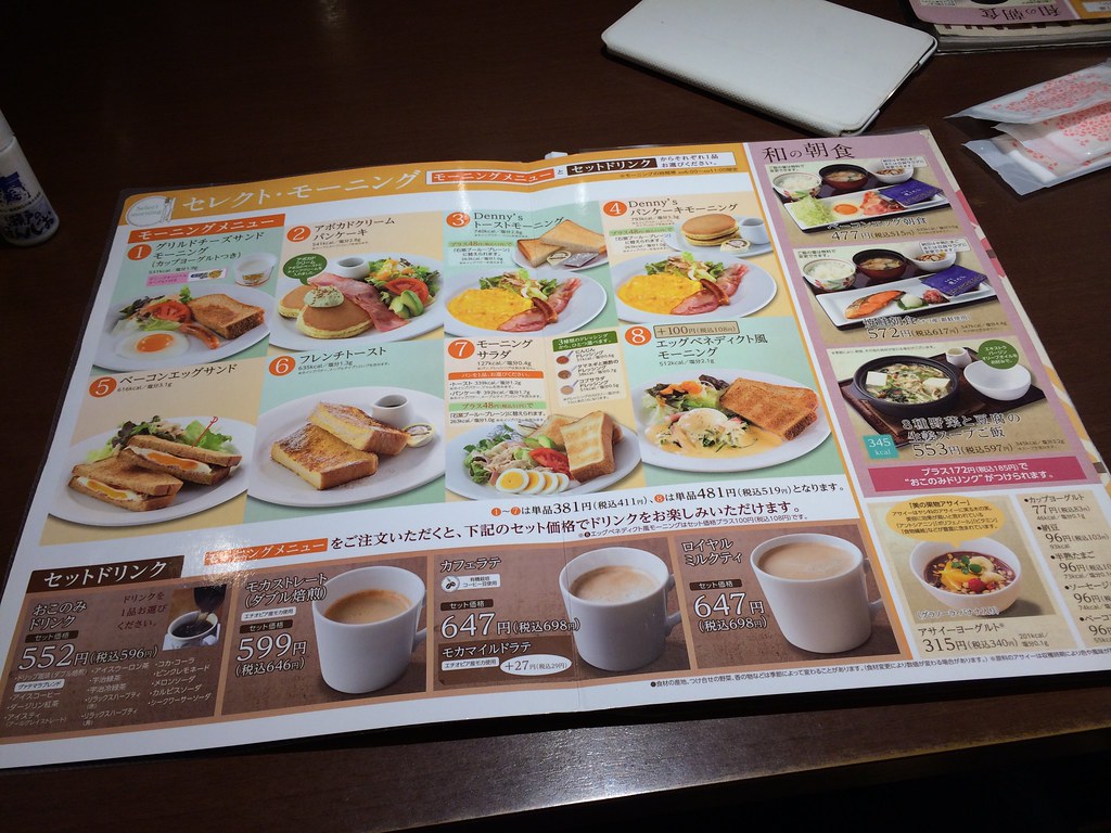
Day Three started with breakfast at the Denny's across the street from our hotel
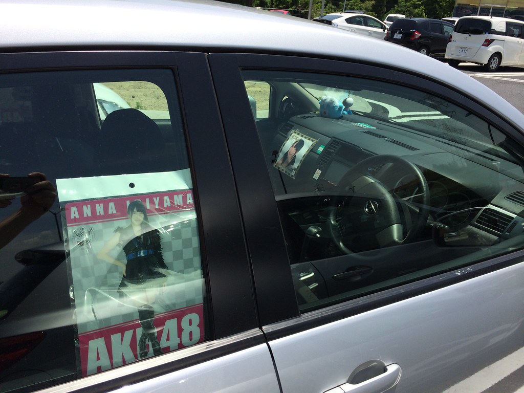
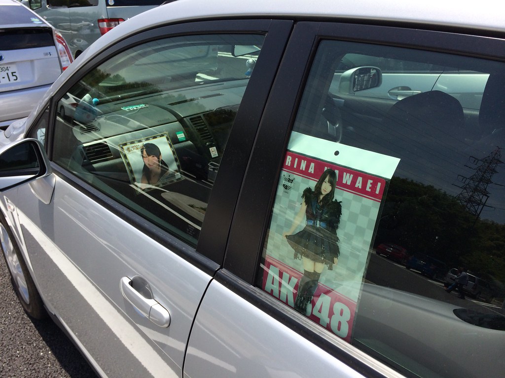
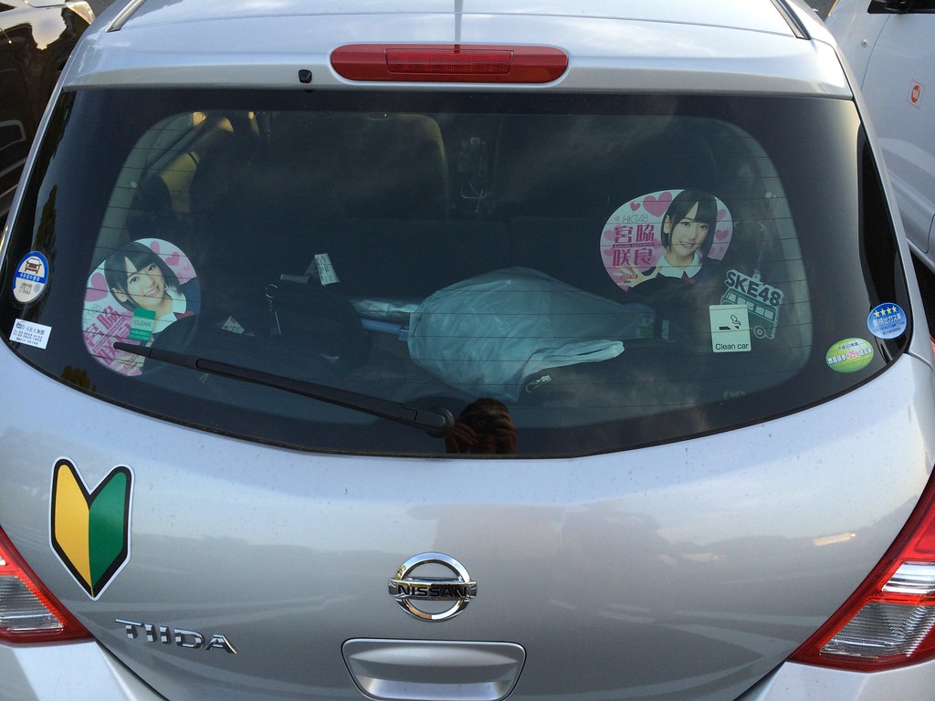
Our car was then further customized with some goods bought the previous evening at the AKB48 shop... It was starting to gain some character! These were the two members hurt in the attack a few days earlier, we were showing our solidarity with their trials.
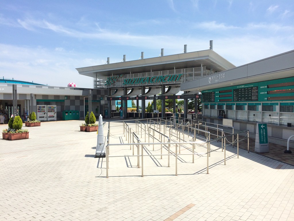
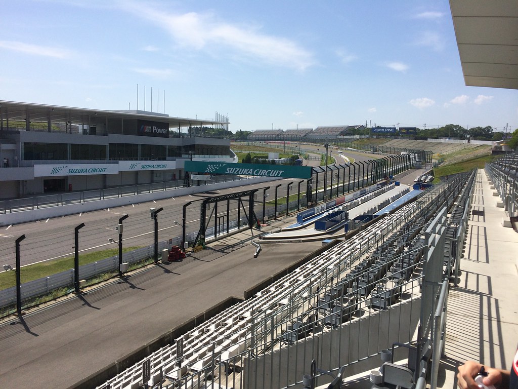
The first goal for the day was the famous Suzuka Grand Prix racing circuit. Around the actual race course there is a racing-themed amusement park. We were almost the only people there that day
They had two different go-kart tracks. One for kids in high school or lower which didn't require a driving license, one for adults which did. Pollinic doesn't have a license so we graciously dubbed him the official racing photographer.
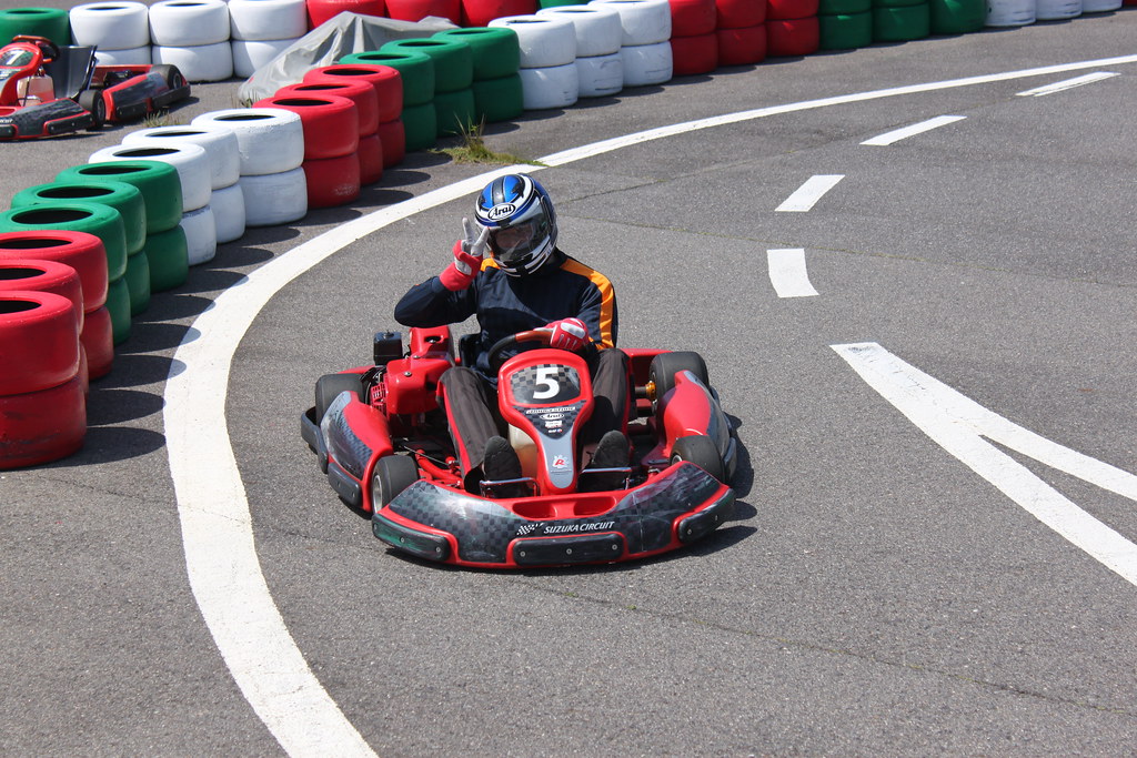
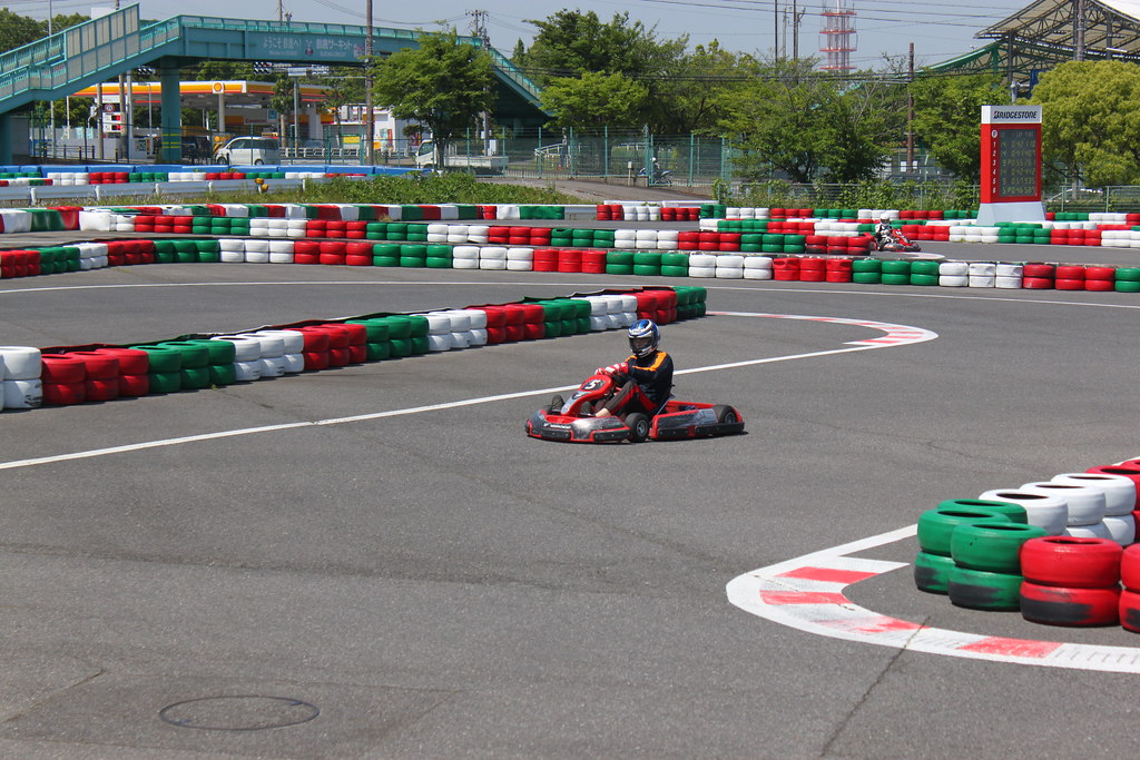
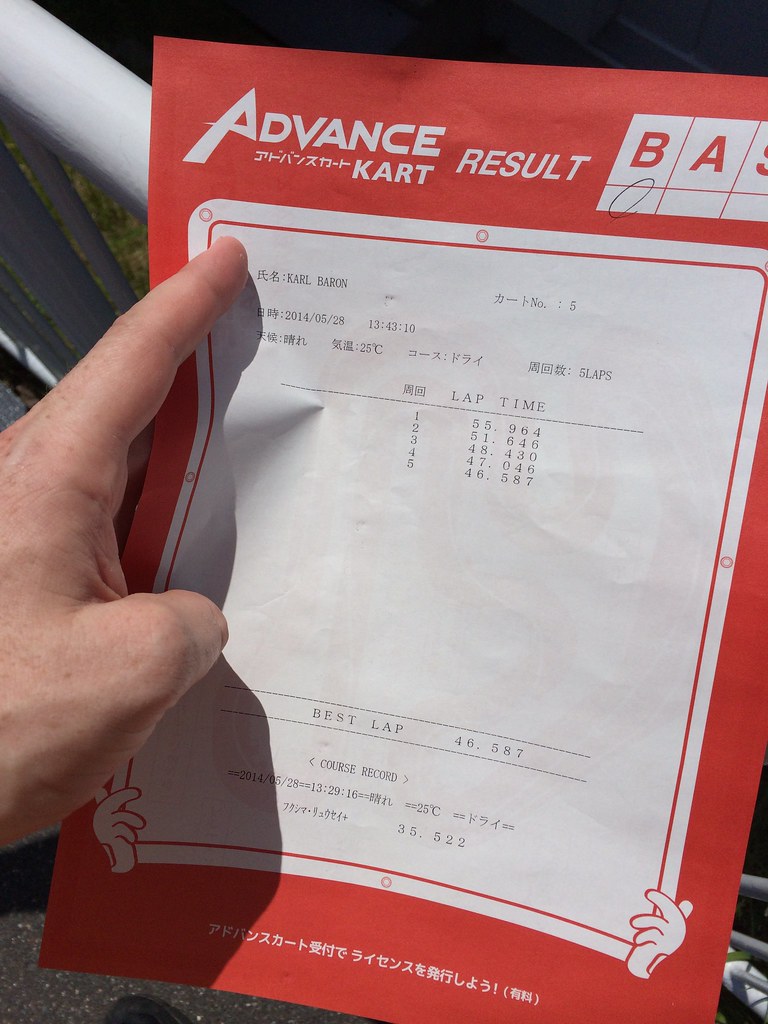
It was super fun and now I want to do it again. My results weren't super-impressive, but I was still like 10 seconds faster/lap than naruse and lapped him once
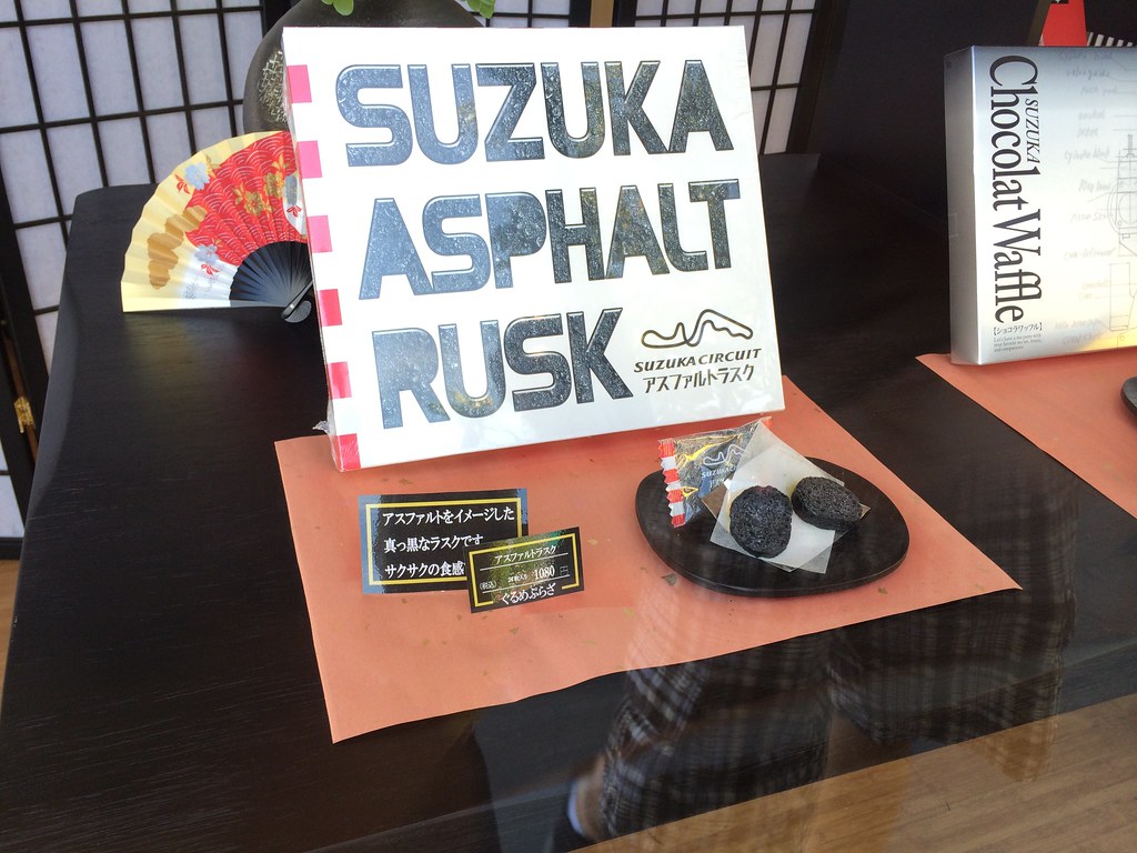
It's always fun to see what kind of stuff japanese tourist destinations make up for souvenirs. Suzuka sold "Asphalt rusk". Did not look appetizing...
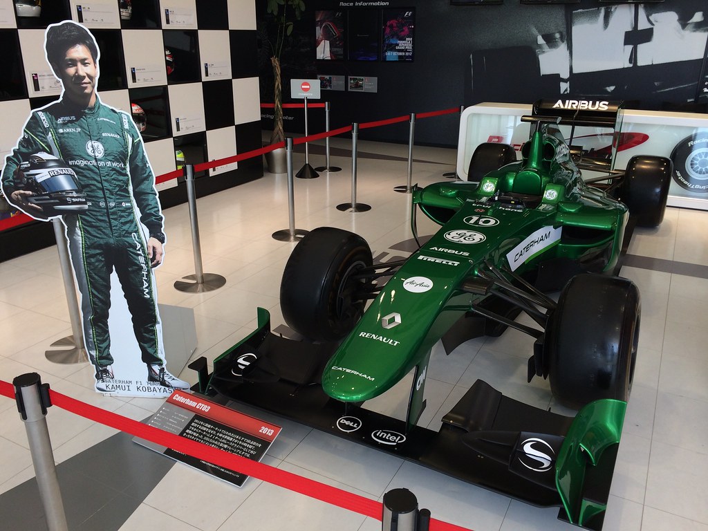
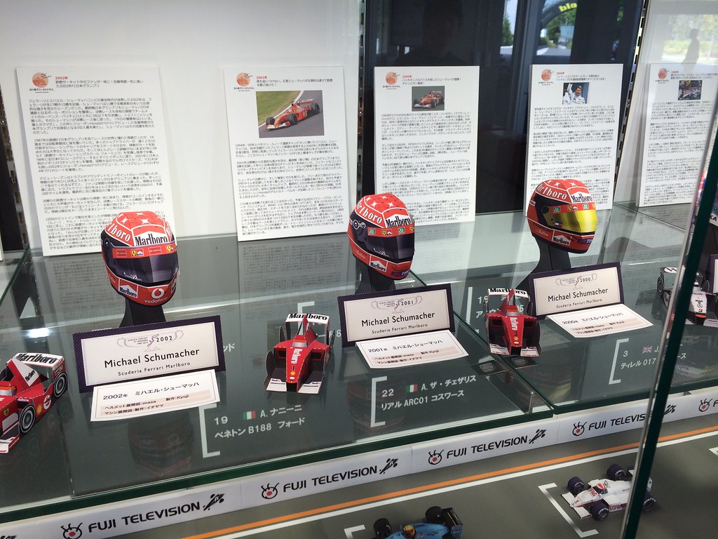
They also had a little racing museum and you could see among other things the racecar for Japan's current F1 hope - Kamui Kobayashi
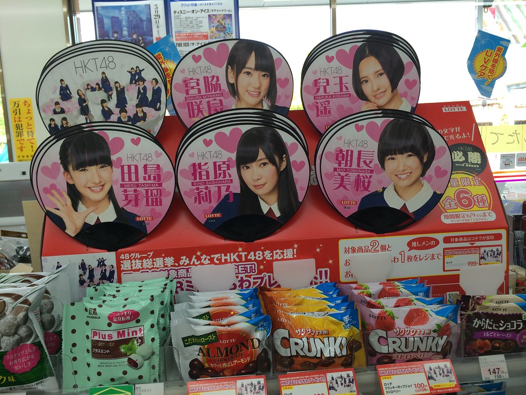
On the way to the next destination we stopped for a small snack and at the Ministop they had a deal where you get a free HKT48 hand fan if you bought 2 pieces of candy. Instant sale, and our car leveled up in awesomeness one more step.
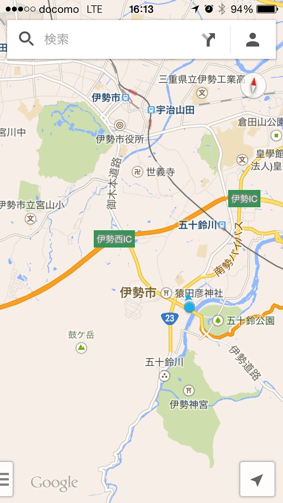
It was at this point in the trip I started to doubt the guidance skills of Google Maps... It kept giving confusing guidance like "right turn ahead" instead of "keep straight, dont take the exist", at one point it tried to send us onto a road that didn't exist, and once it even told us to drive straight over the (blocked off) median of a busy highway!
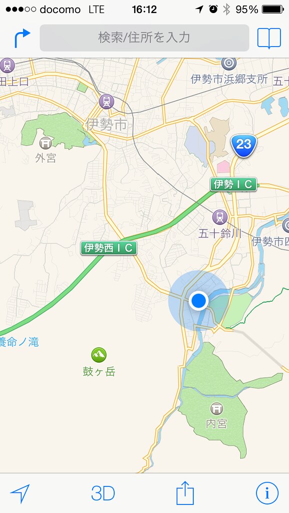
I decided to try Apple Maps for a bit. Just looking at the maps it wasn't looking good though... And of course it wasn't. We tried Apple Maps to navigate to our hotel that night, and of course it took us to the opposite side of town! Their POI database is useless.
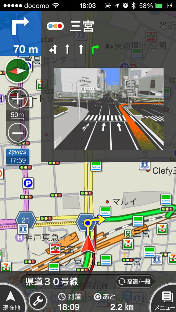
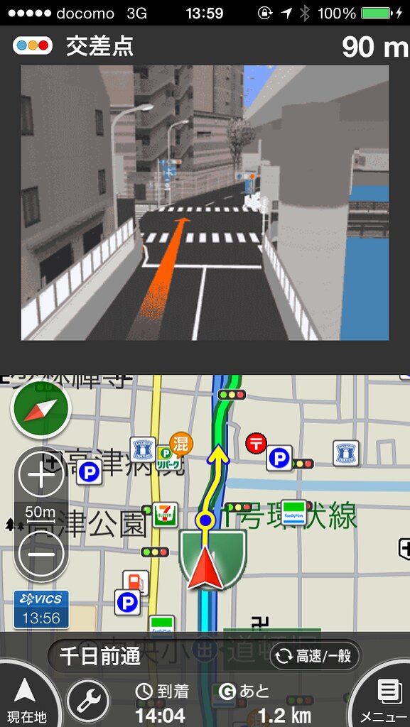
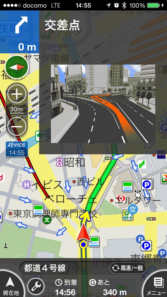
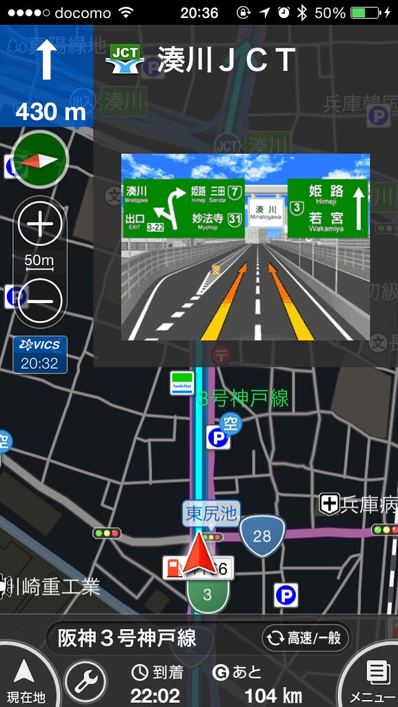
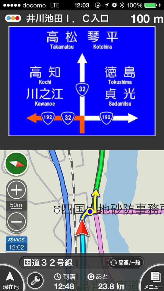
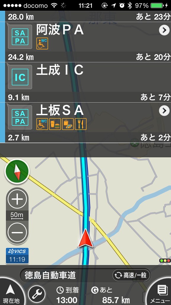
After bitching on Facebook, someone suggested NAVITIME, which we then used for the rest of the trip. It's an excellent navigation app that only works in Japan. The lane guidance is amazing, it shows an accurate representation of even oddly-shaped crossings, as well as showing an exact replication of road signs you encounter but with the road you want to go on highlighted. When you get on a highway, it switches to a mode that shows the next upcoming rest stops and interchanges. Gas stations are shown with their price in yen/liter right on the map.
The only problem with it is that the display updates with quite a large lag, and it takes a while before it decides to recalculate the route, so if you take a wrong turn it's useless for the next minute or so.
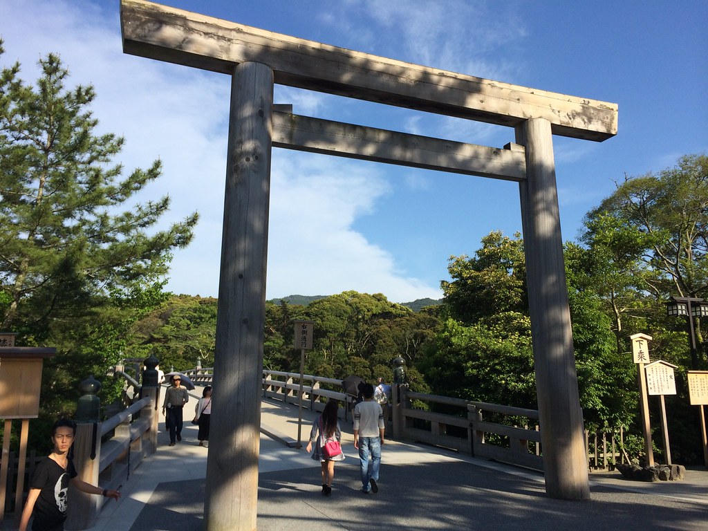
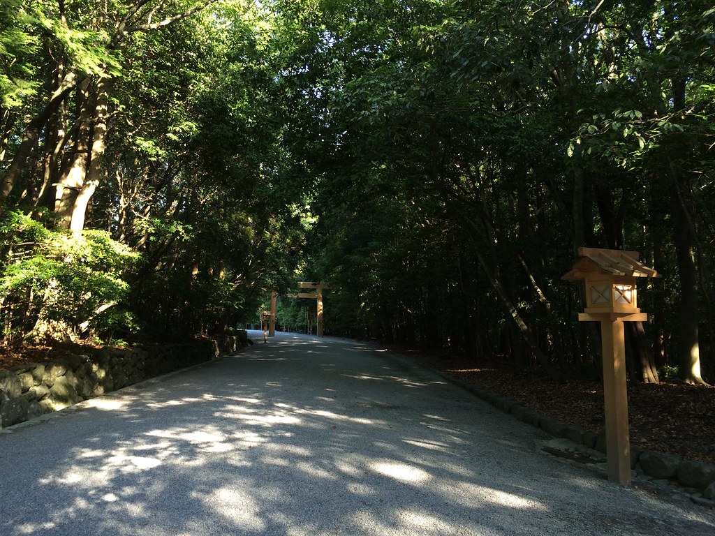
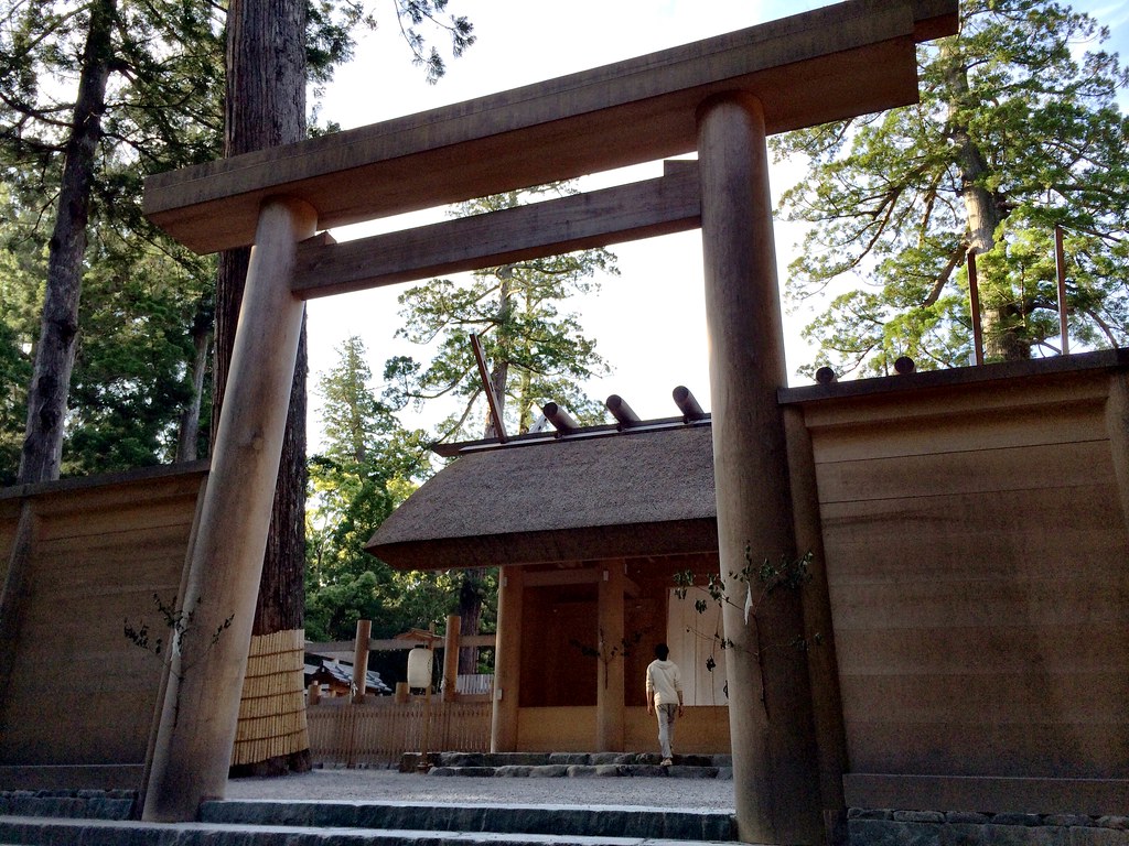
Our last stop for the day was the Ise Grand Shrine, where took a stroll through the grounds and stopped and prayed for our waifus.
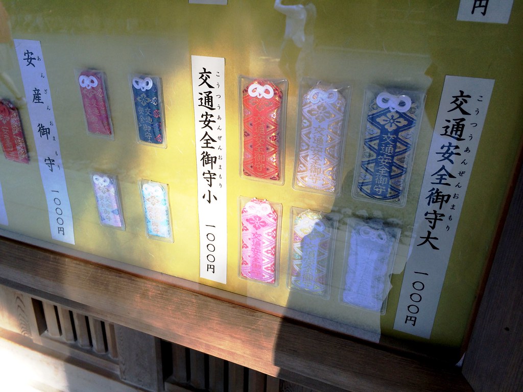
They sold amulets for traffic safety as well. We declined to buy one, and yet ended up having no problems on the trip. Take *THAT*, gods!
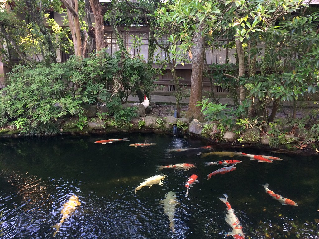
There were also fish and a cock.
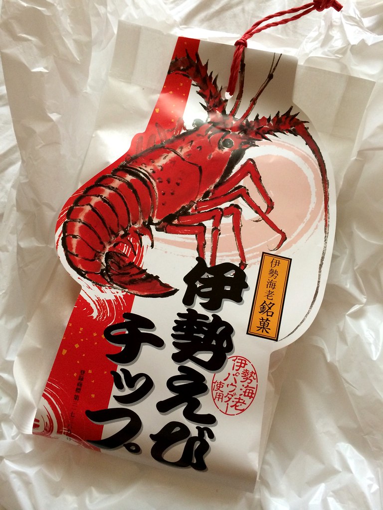
Ise is also famous for the lobster in the area called Ise Ebi. We wanted to try it of course, but by the time we got out of the shrine, all the restaurants and stalls were closed. I ran into the only souvenir store still open and found these Shimp chips. They tasted... normal.
On the way to our hotel for the night, I asked if we should stop at the next Service Area, and everyone just replied indecisively.. "Anoooo...". OK sorry for the bad japanese fun. It was funny at the time.
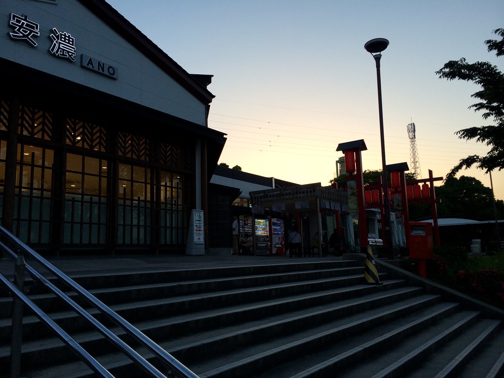
Anyway this is a good excuse to write a bit about the highway system in Japan.
All highways in Japan are toll roads. For the trip we rented a so-called "ETC card" which lets you drive through the automatic toll gates instead of paying cash. It also gives you a discount on weekends and nights.
The speed limit is ridiculously low, usually 80 km/h. I saw *once* a 100 km/h limit. Since everyone realizes this limit is ridiculous, they speed at about 100-120 km/h, same as is common back in Sweden. Speed cameras exist, but we didn't encounter many of them until the final drive into Tokyo on the last day, where there was a stretch with a camera every 3 km. Luckily the NAVITIME app warns you discreetly by saying "please watch your speed ahead".
Japan has a LOT of tunnels. At one point we drove through a 10 km long tunnel. You'll see signs like "from here on there are 22 tunnels in a row". The tunnels usually have cell repeaters, and funny enough in some parts of Japan my travel mates only had reception INSIDE tunnels since the frequencies used in the rural areas isn't available on their phones, but the tunnel repeaters use the common 2100 frequency. Each tunnel is also named, leading to plenty of crude jokes in the car among the lines of "oh, we're entering ono erena's tunnel now..." "wow we exited quick".
The highways are maintained by a private corporation called NEXCO. They also provide all the restaurants, stores and gas stations accessible without leaving the toll area. These are organized into rest stops, which are split into "Service Areas" and "Parking Areas", the former being larger. Some are famous for having certain foods.
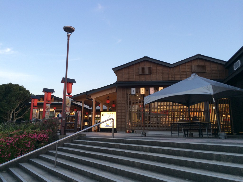
That night was spent in a hotel in Nara, where we shared a Japanese-style tatami/futon room.
Nara is known for the deer which roam the town. Entering the city center there are dire road signs warning for deer crossing the road, and sure enough, I had to slam the breaks to not run into a poor deer. He quickly ran out of the way, and I continued driving through town at a slow crawl.
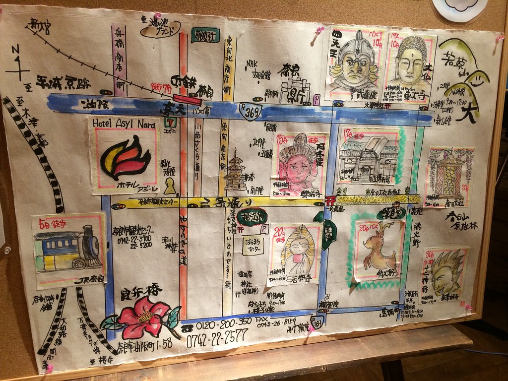
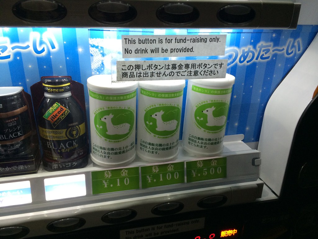
Spotted a vending machine with three slots where you could donate to a wildlife fund.
